You can see the VLOG to the BLOG at the bottom of the page or you can reach it via this button:
Gear:
Sony a7IV
Sony FE 2.8/16–35 mm GM
Sony FE 4/24–105 mm G
Sony FE 100–400 mm GM
DJI Mini 3 Pro
We sit across the dining table from our rented apartment in Miðvágur and are somewhat disillusioned. A look at the weather maps for the next few days dampened our mood from the previous evening. Rain, low clouds, fog. Will we be able to see anything at all when we’re out and about?
In my last blog/vlog post, I talked about the weather on the Faroe Islands. Also the peculiarities that we were just beginning to understand — or at least try to understand.
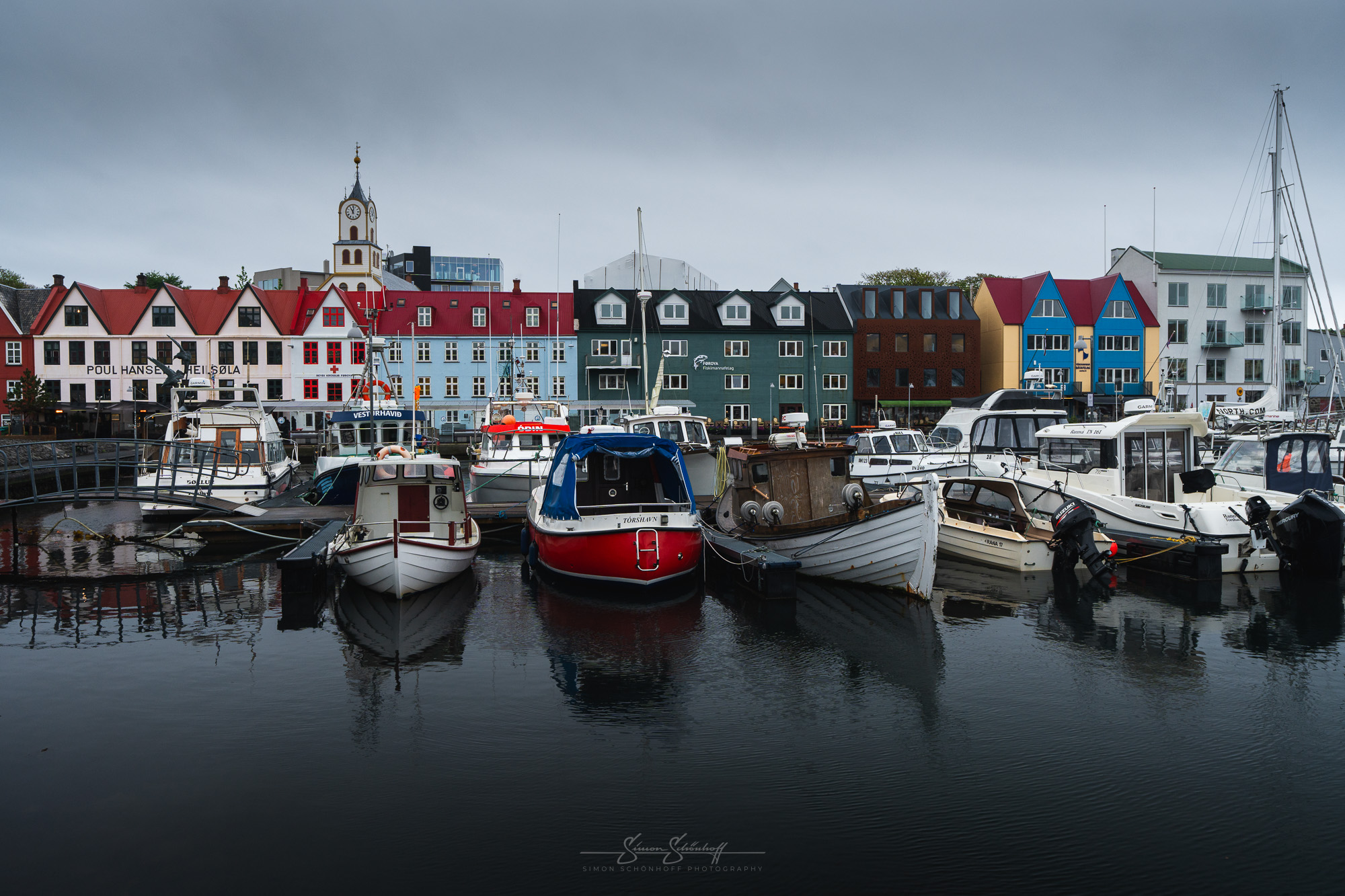
Today there was supposed to be a lot of rain, fog in some parts and very low-hanging clouds. As we won’t be able to see very far, the plan was to visit the capital Tórshavn. This is located in the south, on the east coast of the island of Streymoy. Its name, as you might guess, actually comes from Thor, the Norse god of thunder and lightning and, of course, the harbor. It is home to almost a third of the total population.
In Tórshavn there is a small peninsula called Tinganes. There you will find densely packed turf houses in a typical “old town” and former government buildings painted red. Also worth seeing is a small fortress with a lighthouse. This was used during the Second World War to fend off the Nazis. During this time, the Faroe Islands were under peaceful British occupation, who were afraid that Germany would want to use the Faroe Islands to launch an invasion of Great Britain.
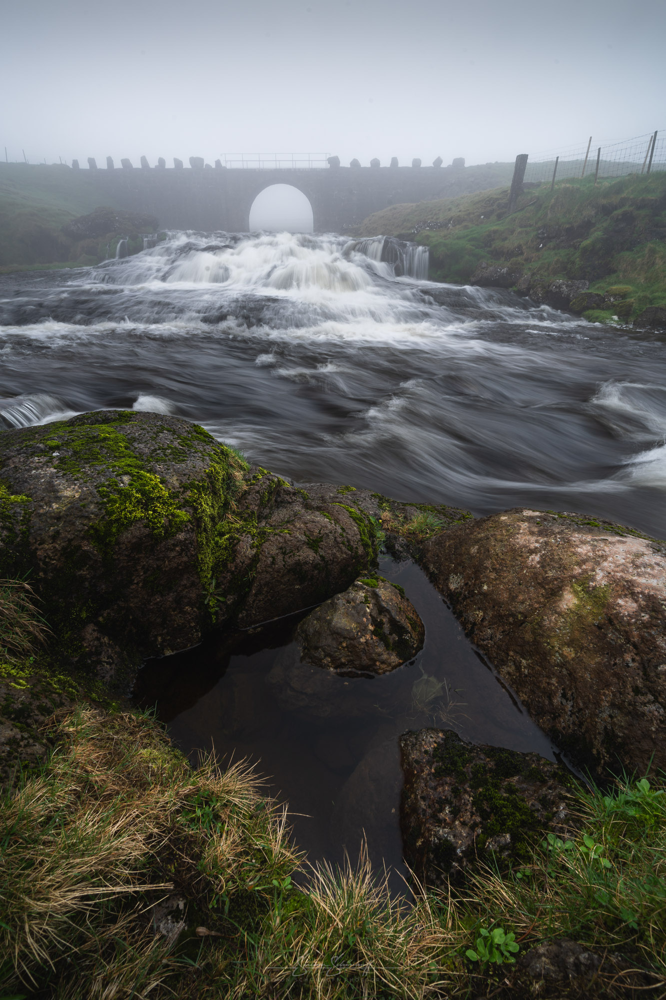
The weather remained as it was, even after we had explored Tórshavn, and visibility even deteriorated slightly. For this reason, we visited a nearby waterfall on the Sandá River. This mystical-looking weather was perfect for this.
At the place where we visited the Sandá, it flows under an old stone bridge and down a small slope over a few rapids. The waterfall is wider than it is high and was especially full of water on the day we were there.
Photographically, I proceeded as I always do with waterfalls. I tried to find the ideal exposure time, which is usually somewhere between 1/10 s and 1 s in my opinion. Close the aperture sufficiently so that everything is sharp, whereby the background in the fog, in this case the old stone bridge, plays less of a role as it will not show any “sharp edges” on the photo in the dense fog either way. Whether a filter needs to be used depends on personal preference and also on whether I can lower the ISO far enough to get the exposure time I want.
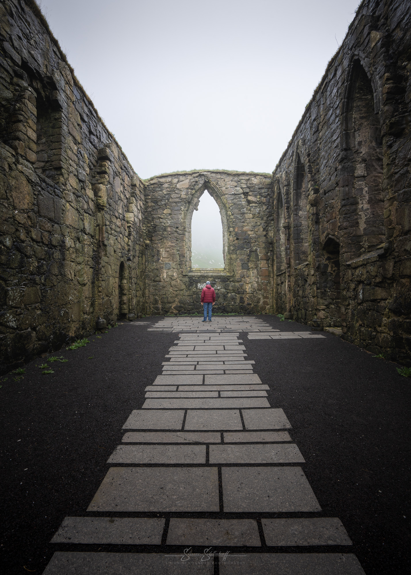
Kirkjubøur in the south-west of Streymoy is also just a few minutes away from Tórshavn. Kirkjubøur was once the spiritual and cultural center of the Faroe Islands. With three special monuments, it is one of the country’s main attractions.
One of these is the ruins of Magnus Cathedral from around 1300, which was built or commissioned by the bishop of the time. However, the Faroese refused to build it as they did not want to pay the high church dues. According to some accounts, the bishop himself was murdered in the cathedral.
The other sights are Olav’s Church from the 13th century and the oldest preserved farm from the Viking Age on the Faroe Islands, the royal court of Kirkjubøur. As you can see from my pictures, we still had fog, and a suitably mystical atmosphere for pictures of this place.
We had planned to visit the outer west of the island of Vágar in the evening. The sky was still overcast, but towards evening the chances of the sun coming through increased and the chances of an evening glow were significantly higher. We set off in good time to visit a few small B‑spots on the way to our actual destination.
The first spot was right next to Sørvágsvatn. These are small fishermen’s cottages. They are located on the edge between the lake and the road and can be easily reached on the way from Miðvágur to the airport. They are small fishermen’s houses with turf roofs and traditional stone walls, which can be used as a beautiful foreground/motif. The background is formed by the Slave Rock or other hills in the area. You can park just a few meters away at a junction on the road, which is followed by a short dirt track parallel to the main road.
A little further on towards the airport, where there is also a junction that is easy to miss, there is a relatively new work of art — the mermaid in the shape of a horse. There is even a story about the statue, which is written on a sign on site. Photographically, a long exposure is ideal here. I can recommend this spot when the sky is cloudy, before sunset in the evening or during the blue hour.
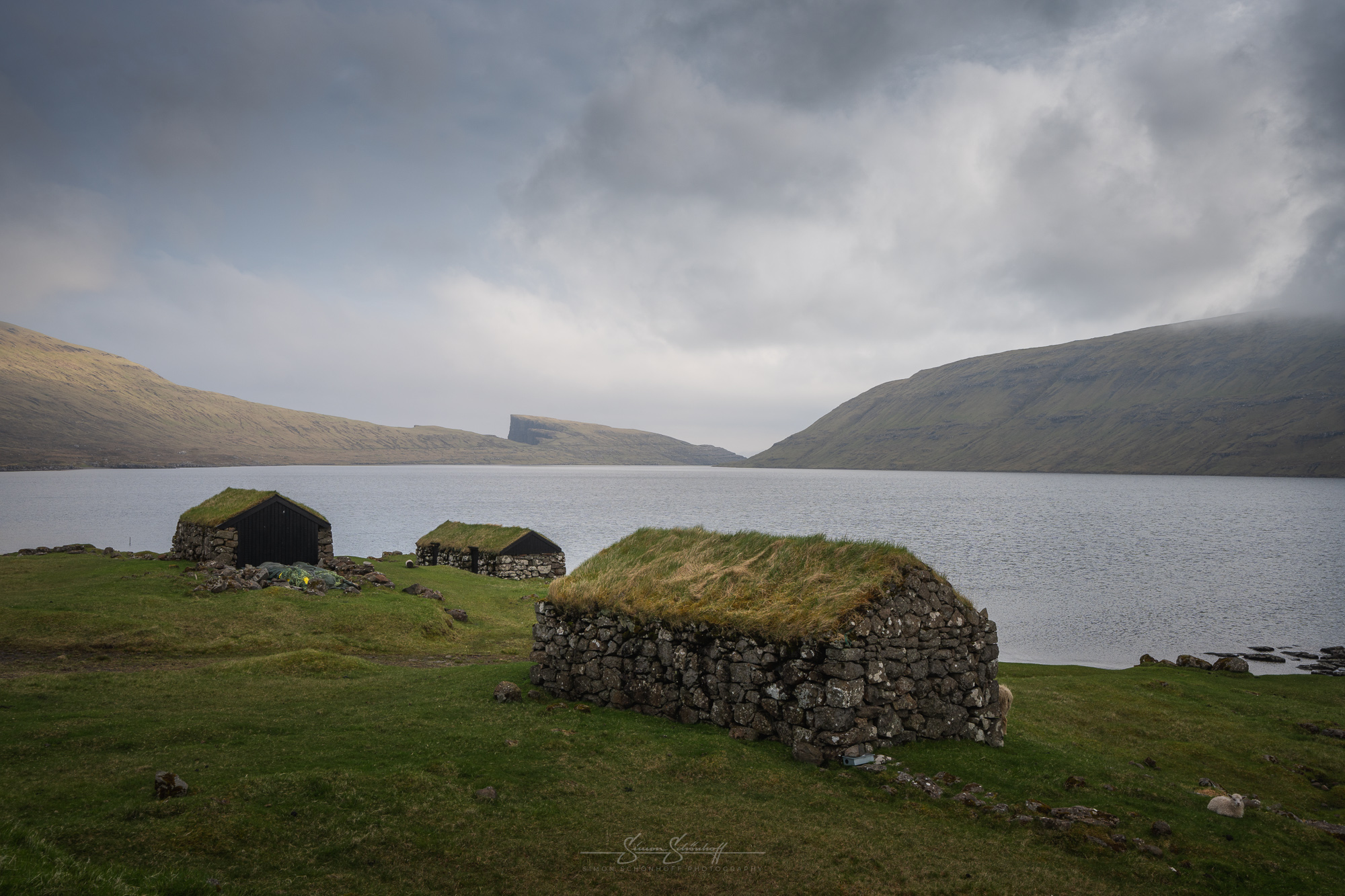
We continued past Sorvagur in the direction of Bøur, along the Sørvágsfjørður. There are more small but beautiful B‑spots here. On the one hand, there are a few beautiful little houses by the roadside, which can be photographed very interestingly with the fjord walls opposite, or with Drangarnir and Tindhólmur in the background.
There is also a beautiful little house on the edge of the village in the small village of Bøur, which makes a lovely motif. You can park right next to it. There is also a great waterfall through Bøur — for those who haven’t seen enough waterfalls yet.
The road that leads further out to the end of Vágar is also nice to photograph. Just take a short break at the side of the road and enjoy the view back along Sørvágsfjørður.
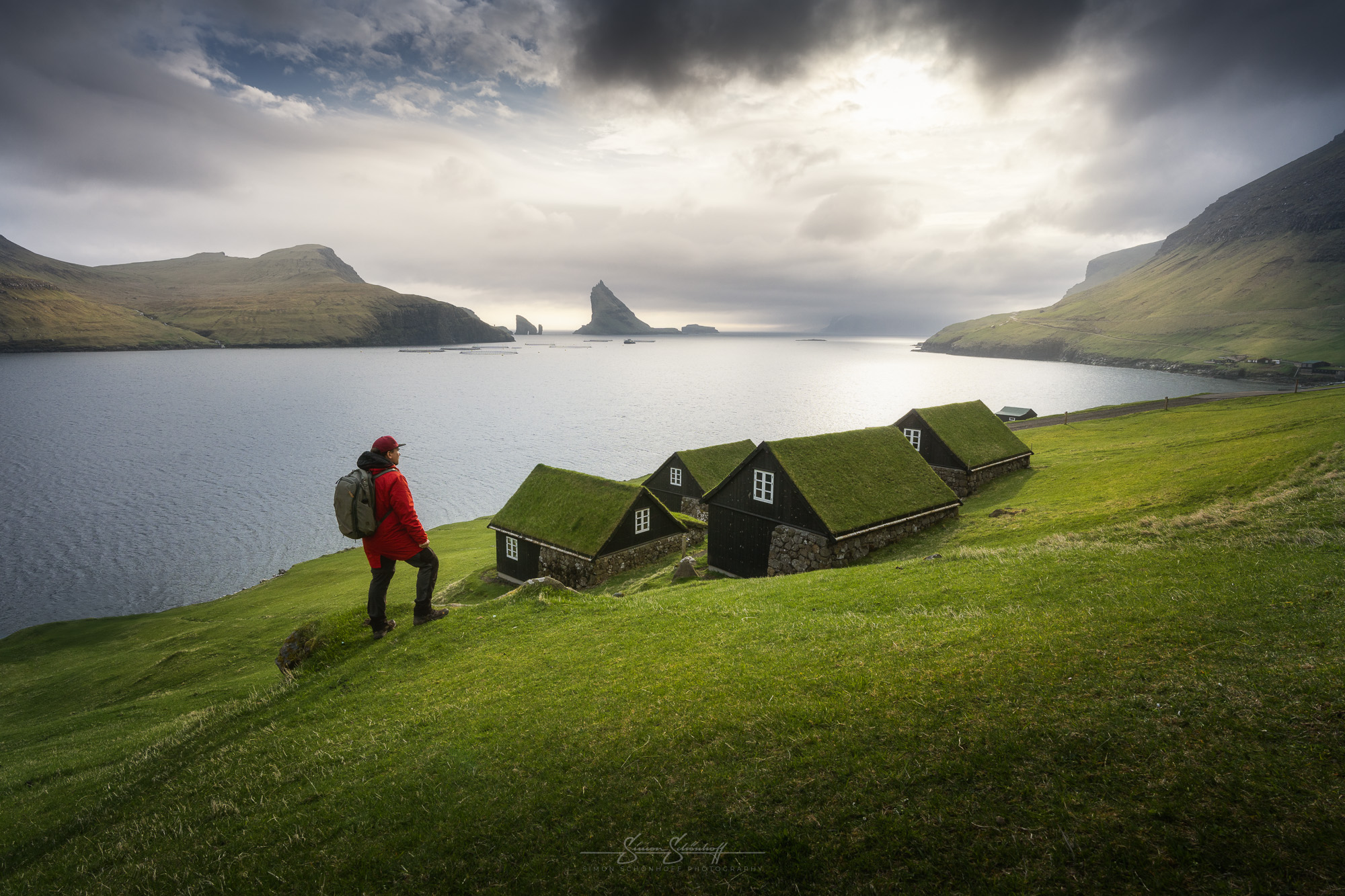
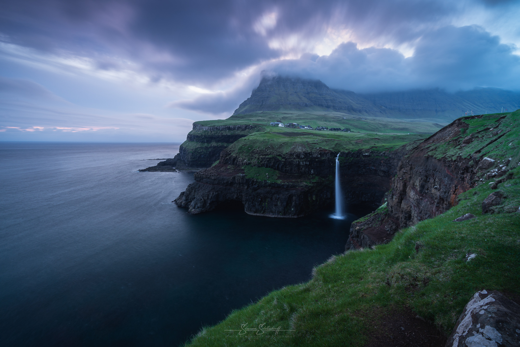
The destination of our evening photo tour was Gásadalur and the waterfall called Múlafossur, which cascades into the sea. If you continue along the road, you reach the basin in which the village is located, after which you drive through a dark tunnel. In my opinion, it’s well worth getting there a little earlier to visit a few of the viewpoints in the village and enjoy the unique views. However, our destination was the well-known A‑spot, which is on the way towards the sea and the old harbor.
When we arrived, several other photographers were already there. One Swede and a total of three Italians. They, too, were photographing the scene that emerges from here when you look out over the Múlafossur, which flows directly into the sea. In the background is the small village, the beautiful basin and the impressive mountains that surround it. The scene is breathtaking and beautiful, which is probably why it has been photographed so many times. But that doesn’t stop me and many others from taking our own version of this scene.
If you want something more individual, you can of course also take details. I find the waterfall particularly beautiful when there is no wind. It forms a straight column downwards, which can be “frozen” with a very short exposure time and forms a perfect round wreath when it hits the sea at the lower end. I tried to bridge the waiting time for the sunset by waiting for the perfect moment with a seagull or a puffin flying through. This proved to be extremely difficult, but was a way to immortalize your own touch in a picture of this place. If you have strong winds at the location, the water of the waterfall sometimes flies back up. This also makes for special, more individual pictures of this place.
Unfortunately, the sun disappeared behind clouds quite quickly when we arrived and didn’t show itself again in the evening. We stood there for over 1.5 hours, but unfortunately there was no real sunset. But the clouds still created a great atmosphere. Especially when low passing clouds got stuck in the mountains around Gásadalur.
On the way home we stopped again at Tindhólmur and at the mermaid for a photo.
The next morning was the opposite of the previous day in terms of the weather. A blue sky surrounded us in all directions. Good for a hike to a viewpoint, e.g. to the highest peak on the Faroe Islands: Slættaratindur.
On the way there, we passed the Risin og Kellingin viewpoint again, so we stopped for another picture in beautiful but less atmospheric weather. Then we drove to the parking lot for hikers at the highest mountain on the Faroe Islands.
We had just over an hour of non-stop climbing ahead of us along a well-trodden path and a slope full of small rocks, gravel and meadow. The first half is very steep and goes straight up towards the top of the mountain. The terrain was always muddy, slippery, scree and stones, gravel. The second half is somewhat flatter and leads more along the mountain. However, the path becomes somewhat narrower. The last few meters to the lower viewpoint are steep over rocks. There are several chains to hold on to, but they are not absolutely necessary. To reach the upper viewpoint, you walk around the summit and climb a few more meters over rocks.
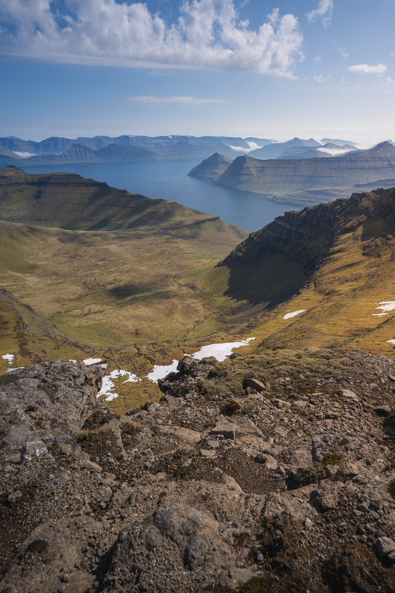
The view is sensational and definitely worth the effort. You get a view of the north of the Faroe Islands with Risin og Kellingin and the island of Kalsoys or you can see as far south as Streymoy or even watch Fossa waterfall, which looks almost tiny from up here. We were there around midday and saw that really beautiful compositions are possible on site. In the morning or evening sun, particularly beautiful shots should be possible here. The weather forecast for us on these days was morning or evening but without sun. The visibility was also expected to be significantly worse that afternoon, namely rainy and foggy. That’s why the visit was only an option at lunchtime. For completeness: the descent takes about 45 minutes.
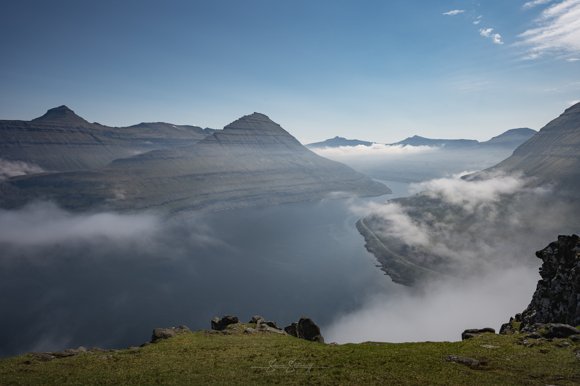
I had already reported on the viewpoint on Funningur and its fjord in the last part. As the viewpoint was practically on the way again, we wanted to try our luck again and stop there. But once again we were only half lucky. Once again, fog and clouds blocked our view. Although they were still hanging quite loosely in the fjord and not as thick as on our first attempt, they still spoiled the view of this impressive scenery a little.
The sun was shining at the top of the viewpoint. We enjoyed the pleasant warmth and waited. At the bottom, the clouds were loosening from time to time but quickly closed in again. After a long wait, it became increasingly overcast and we decided to move on. We had a few shots that were almost good, even if they were far from satisfactory.
Our destination for the afternoon/evening was the north-east. The weather service had given us the hope that we would have the best visibility and be the least exposed to the rain here.
We wanted to reach Viðareiði before the cloud cover and fog completely enveloped us, but that wasn’t quite enough, the far north was already thick. On the outward journey, there is actually a spot with lots of waterfalls along the coast, which can be beautifully photographed with a drone. However, with a visibility of 20m in places, this was not possible in our case.
The village of Viðareiði is also great thanks to the location of the church. There is also the coastline, which is directly adjacent and very photogenic in both directions. The house with the river in the foreground by the church is also a beautiful motif. Great shots are possible here, even in this weather, even if there are no visible large mountains surrounding the village.
The weather we had was supposed to be ideal for the ghost town on Borðoy, but when we got there, the weather was suddenly almost too good again. We would have liked it to be even foggier for the pictures to have a ghostly effect. However, we could see where the fog was hanging on the neighboring island of Viðoy. We struck up a conversation with the local farmer/sheep farmer and found out a bit about the place. He explained to us that the “ghost town” is not really abandoned and is only referred to as such by the tourist board. He still looks after the houses, is actually on site every day and everything is still habitable.
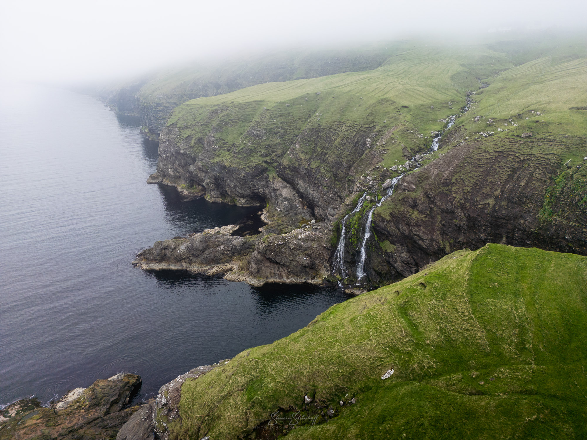
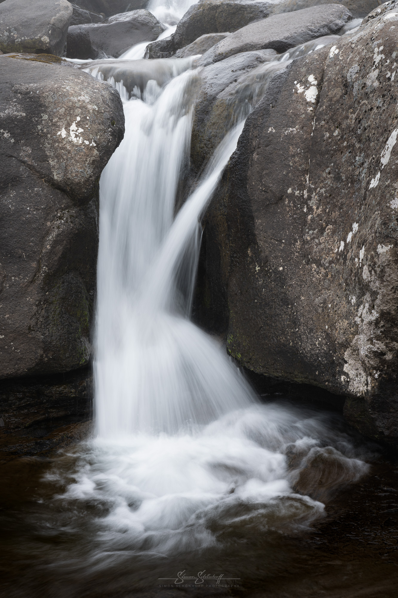
So we had a look around and then drove back. On the way back, we saw two beautiful, large and interesting waterfalls along the way, which we wanted to try and capture photographically. However, the shots proved to be difficult, due to the size and also the perspective proximity, it was not easy to find special compositions.
The first waterfall had large rocks at the bottom, which were beautifully washed by the water. However, I liked the overall shot rather mediocre. On the other hand, detailed shots of the last cascade were very nice.
The second waterfall was significantly larger and wider, but also less organized. For the best picture, in my opinion, I got back into the water and used the lower cascade as the foreground. I also took another detail there.
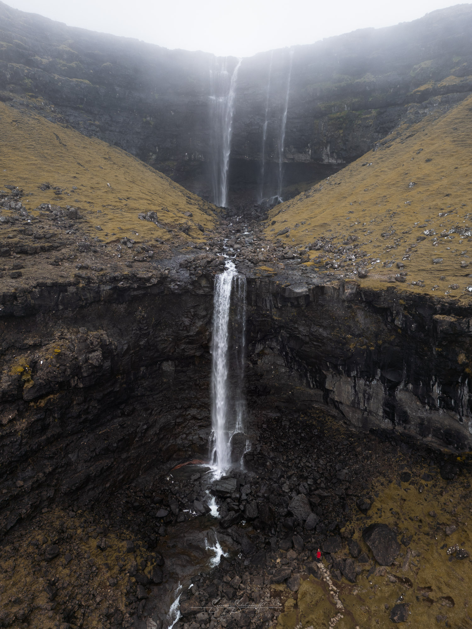
As we were already in waterfall mode, we decided to take a small detour via the Fossa waterfall on the way back to our accommodation. The rain intensified a little and the fog thickened again. This should lead to some great atmospheric pictures at the Fossa.
Shooting in the rain is generally challenging. The spray from the waterfall is then joined by the drops from above. This means alternating between wiping and photographing. You also had to be careful not to slip on the wet rocks and paths.
Photographically, the wide angle from below is possible at the Fossa. However, you can only see the first cascade, or very little of the second. From certain positions, shots with a slight telephoto are also possible, for example, if someone were to stand at the top below the second cascade, this could also result in great pictures showing the scale of the waterfall. However, the path to the top was very slippery in the rain and would have been dangerous. So we didn’t do that. Instead, I went up with the drone. But you have to be careful because of the power lines. It’s also interesting with a person in the picture, as the size of the waterfall becomes apparent. As you can see, many things are possible.
It remains the case that the Faroe Islands are a country that is incredibly photogenic even in bad weather. So there is hardly any bad weather when you come here to take photos. The mystical and spooky moods in particular work perfectly in certain places. You don’t always need a sunset or sunset. This increases the chances of success for a photo trip here. For viewpoints, however, there should be less low cloud and fog than we often had. Simply so that you can also take nice pictures of the larger landscapes.
We’ll continue next week with part 3 and a visit to Puffin Island and the most breathtaking place I’ve ever visited.
… to be continued …
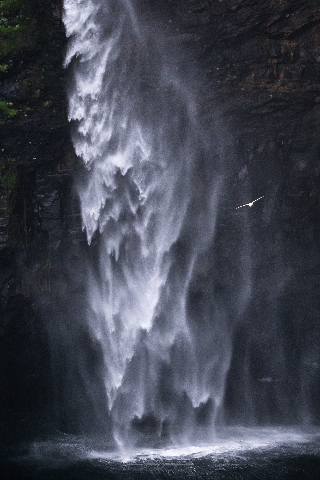
This and all other shots of this post you can request under “Prints” as an art print for your wall at home directly from me.
The weather on the Faroe Islands remains exciting. Lots of rain, low-hanging clouds and thick fog make it difficult to photograph large landscapes on day 3+4 of our trip. But this country offers an enormous number of places with photographic potential, even for this weather. In this video, you can find out where we went, what we were able to photograph and how we got some great atmospheric pictures.
Feel free to share: